
Blizzard Warning Issued for Connecticut as Major Storm Threatens East Coast
The National Weather Service issued blizzard warnings for southern Connecticut on Saturday as a powerful late-winter storm approaches, threatening to dump up to two feet of snow across the region starting Sunday.
The National Weather Service issued blizzard warnings for southern Connecticut on Saturday as a powerful late-winter storm approaches, threatening to dump up to two feet of snow across the region starting Sunday.
The weather service upgraded its assessment of the storm’s potential severity, which meteorologists initially projected to be less intense just days earlier. Southern Connecticut now faces blizzard conditions alongside New York City, Long Island, and coastal communities in New Jersey and Delaware.
“While we do get plenty of these nor’easters that produce heavy snow and strong impacts, it’s been several years since we saw one of this magnitude across this large of a region in this very populated part of the country,” said Cody Snell, a meteorologist at the National Weather Service’s Weather Prediction Center.
The storm system will bring one to two feet of snow to many areas, according to the weather service. Connecticut residents can expect the storm to arrive Sunday morning as it moves northeast from the Washington, D.C. area toward Philadelphia and New York City before reaching Boston by late Monday evening.
Weather officials warn the storm could initially begin as rainfall in some locations before conditions worsen. The heaviest snowfall is expected Sunday night, with accumulations reaching as much as two inches per hour in some areas before tapering off by Monday afternoon.
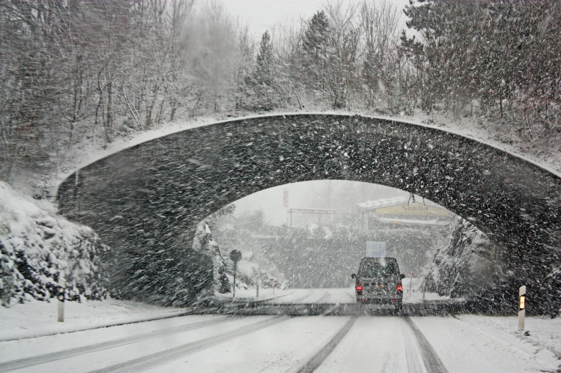
The National Weather Service cautioned that steady winds of 25 to 35 mph will accompany the heavy snow, creating conditions that “make travel dangerous, if not impossible.” The combination of snow load and strong winds could cause scattered downed tree limbs and power outages throughout the region.
The timing of the storm poses additional challenges for Connecticut residents, as it arrives just as the icy remnants of a previous snowstorm that struck weeks earlier were finally melting away. The new storm threatens to create hazardous conditions at the start of the work week.
Flooding presents another concern, as the weather service indicated parts of New York and New Jersey could experience water accumulation alongside the heavy snow. This dual threat of snow and flooding creates particularly dangerous conditions for drivers and pedestrians.
The storm’s path will affect one of the most densely populated regions of the country, stretching from the nation’s capital through major metropolitan areas including Philadelphia, New York City, and Boston. The broad geographic scope and intensity of the storm prompted weather officials to issue warnings well in advance.
Connecticut residents should prepare for significant travel disruptions beginning Sunday and potentially extending into Monday. The combination of heavy snowfall rates and strong winds will likely create whiteout conditions and make snow removal efforts challenging.
The weather service’s upgraded forecast reflects the storm’s potential to become one of the most significant winter weather events the region has experienced in recent years. The last comparable storm of this magnitude affecting such a large, populated area occurred several years ago, according to meteorologists.
Local officials across the region are urging residents to avoid unnecessary travel during the storm’s peak intensity. The dangerous combination of heavy snow, strong winds, and potential flooding creates multiple hazards that could persist through Monday afternoon.
Connecticut residents should monitor weather updates closely as the storm approaches and make necessary preparations for extended power outages and impassable roads. The weather service continues to track the storm’s development and may adjust warnings as conditions evolve.