
Blizzard Warning Issued for Connecticut as Major Winter Storm Targets Region
Connecticut faces its first blizzard warning in four years as a powerful winter storm approaches the state, threatening to dump up to two feet of snow across southern portions of the state starting Sunday night.
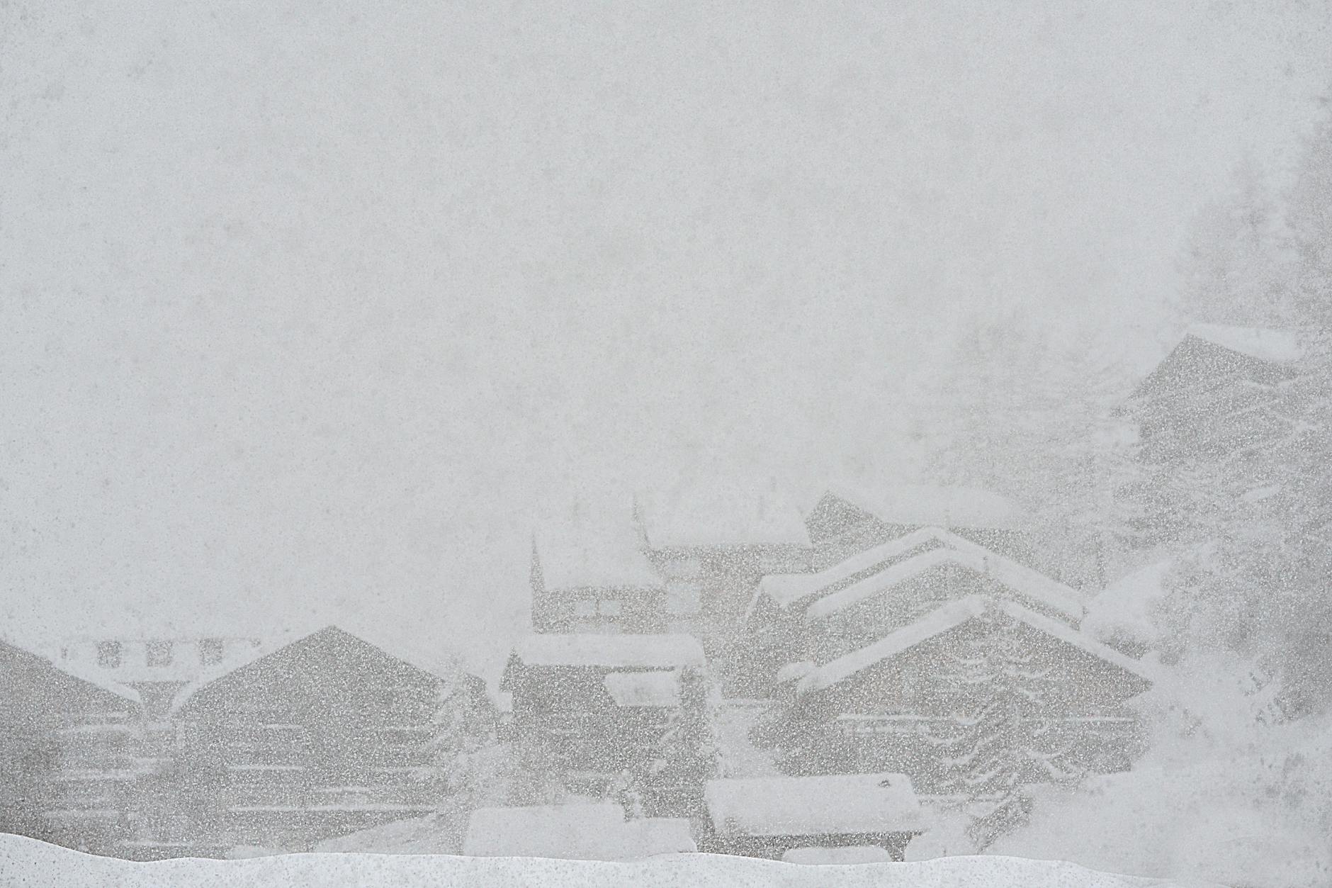
Connecticut faces its first blizzard warning in four years as a powerful winter storm approaches the state, threatening to dump up to two feet of snow across southern portions of the state starting Sunday night.
The National Weather Service issued blizzard warnings Saturday for southern Connecticut, along with New York City, Long Island, and coastal communities in New Jersey and Delaware. More than 14 million people currently fall under blizzard warnings as the late-winter storm prepares to impact the heavily populated Northeast corridor.
According to the National Weather Service, snowfall totals of 6 to 18 inches are possible across the Northeast, with 1 to 2 feet of snow forecast for many areas under blizzard warnings. The weather service warns that steady winds of 25 to 35 mph will “make travel dangerous, if not impossible.”
“While we do get plenty of these nor’easters that produce heavy snow and strong impacts, it’s been several years since we saw one of this magnitude across this large of a region in this very populated part of the country,” said Cody Snell, a meteorologist at the National Weather Service’s Weather Prediction Center.
The storm is expected to begin quietly Sunday with rainfall in some areas before conditions deteriorate. The heaviest snowfall is forecast for Sunday night, with snowfall rates reaching 1 to 2 inches per hour expected by Sunday evening. Higher rates exceeding 2 inches per hour are possible in some locations.
The National Weather Service increased its assessment of the storm’s potential severity, projecting a more ferocious system than initially forecast just days earlier. The weather service warns that “scattered downed tree limbs and power outages are possible due to snow load and strong winds.”
Connecticut residents should prepare for difficult travel conditions across the region, according to National Weather Service predictions. The combination of heavy snow and strong winds creates blizzard conditions that significantly reduce visibility and make roads impassable.
Flooding also poses a concern in parts of the region, with the weather service warning of potential water accumulation in New York and New Jersey. This dual threat of snow and flooding creates particularly hazardous conditions for residents and emergency responders.
The approaching storm comes as the icy remains of a previous snowstorm that struck the region weeks earlier were finally melting away. The timing adds to concerns about infrastructure strain and emergency response capabilities.
In neighboring New York City, this marks the first blizzard warning issued for the area in nine years, underscoring the storm’s unusual severity. Officials across the region are urging residents to avoid unnecessary travel during the storm’s peak intensity.
The storm’s arrival coincides with the traditional end of winter weather patterns, though Punxsutawney Phil’s shadow sighting earlier this month predicted six more weeks of winter conditions, according to groundhog folklore.
Connecticut residents should monitor local weather updates as conditions are expected to change rapidly once the storm system moves into the area Sunday night. The National Weather Service continues to track the storm’s progress and may adjust warnings as the system develops.
Emergency officials recommend that residents prepare for potential power outages and stock up on essential supplies before the storm arrives. The combination of heavy snow, strong winds, and potential flooding creates multiple hazards that could persist into Monday as the storm system moves through the region.